H3 Spatial Index
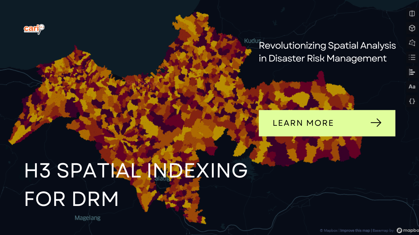
H3, an innovative geospatial indexing system, transforms the world into a grid of hexagonal cells, providing an open-source solution licensed under Apache 2. With its hierarchical structure, H3 tackles the data science challenges faced by Uber, enabling the integration of diverse datasets. This powerful indexing system goes beyond the advantages of hexagonal grids, offering features for flow modeling, making it an ideal choice for leveraging Machine Learning in geospatial data analysis.
By seamlessly combining different data sources, H3 facilitates a comprehensive understanding of disaster risks. From the smallest localities to global scales, H3 empowers decision-makers to assess and manage risks effectively. Join us in harnessing the potential of H3 Spatial Indexing to enhance disaster risk management strategies and build resilient communities.